FIELD NOTES BLOG
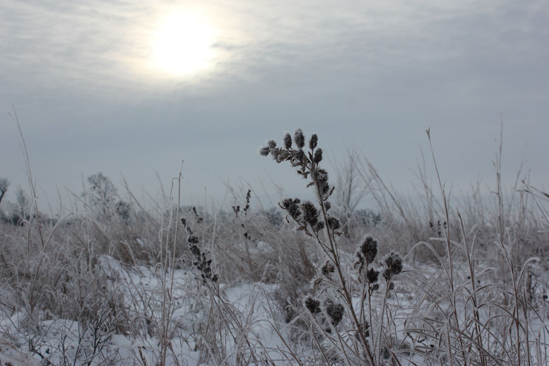
Let It Snow: 2025-2026 Snow Report
Snowfall Conditions, Trends, and Expectations for this season
As most midwesterners know, our weather varies greatly year to year - even day to day. We are no stranger to dramatic 50+ degree swings in temperature, and it's not all that uncommon to wear an insulated coat one day and sandals the next. Similarly, snow amounts vary annually, seemingly with no rhyme or reason. This season we have already experienced more snowfall than previous years, but are still far behind regional records.
Fortunately for researchers, the Chicago-Rockford International Airport is home to a
NOAA National Weather Service station that measures and shares climatological data like precipitation, temperature, wind speed, among many other variables. Today, we are focusing on precipitation, namely: snow.
Patterns and trends
First, let’s bring it back to Earth Science class to talk about the La Nina and El Nino weather patterns. You can read all about it in a previous blog here: https://www.seversondells.com/blog/laninawinter. La Nina is the pattern that we are currently experiencing, and can explain the damp winter we have had thus far. Contrarily, El Nino is the weather pattern that causes more mild, dryer winters.
Before talking numbers, it's important to preface that minute, hyperlocal changes in temperature can mean the difference between no snow or lots of it in a specific area, and conditions may differ just a few streets away. Snow can be difficult to predict. Climatologists and Meteorologists use different models to attempt predicting the future, but these are just
models.
The cold, hard data
For the purposes of this blog, I looked at snow accumulation data from November through March, as these are the most consistent months we receive snowfall.
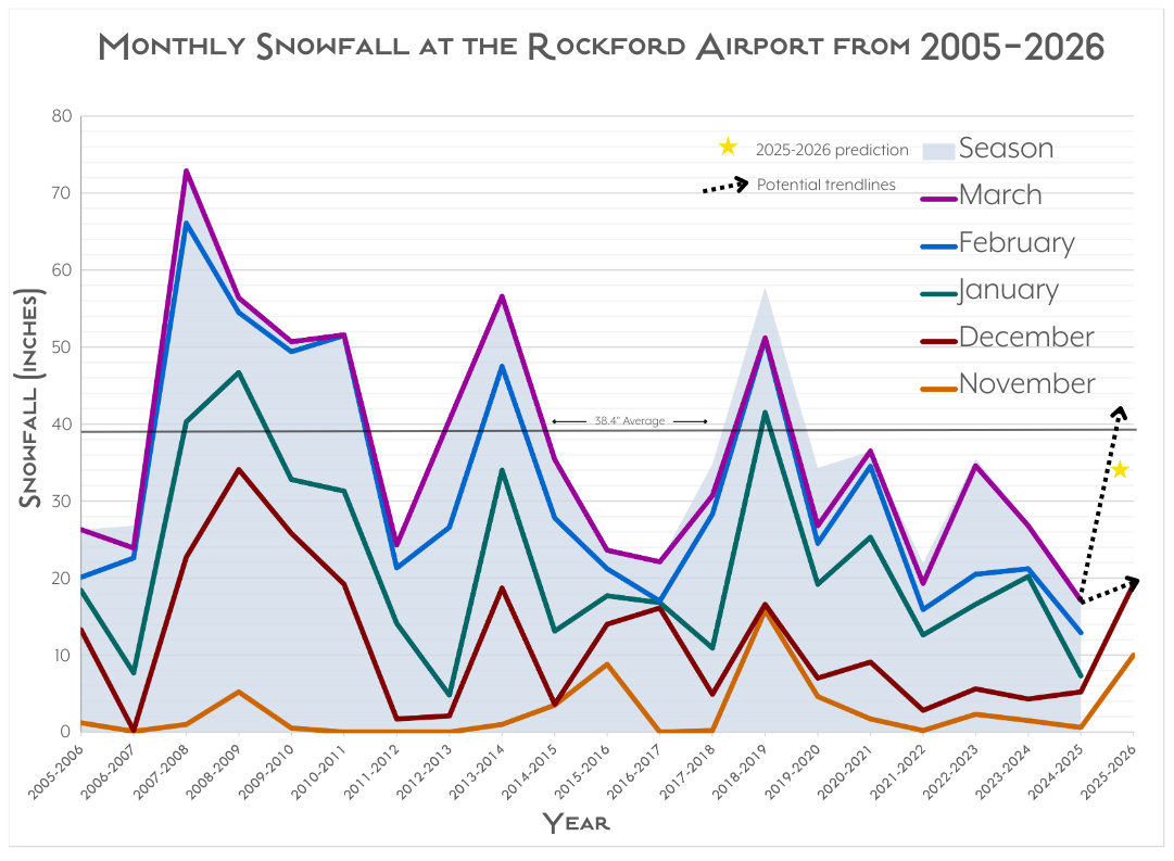
The AccuWeather exclusive forecast predicts 32-38” of snowfall for this season, which is in line with the 30 year average (38.4” between 1991-2020), but is significantly higher than last year’s cumulative snowfall totalling only 17.6”. As of the first week of December, Rockford had already recorded as much snow as the entire previous winter at 17.1”. In fact, this has been the snowiest start to winter since recordkeeping began 120 years ago around 1905. While there is no long-term trend in snowfall in Illinois, the last decade has shown more variability, accounting for the big changes we see year to year.
While researching, I noticed that January and February tend to be peak snowfall months, so don’t be fooled by the lack of snow right now because the worst may be yet to come.
Other (not-so-technical) Prediction Methods
For as long as humans have existed, we have searched and invented ways to measure, tell, and document time, including anticipating the future. Natural phenomena can provide an ecological calendar for our reference.
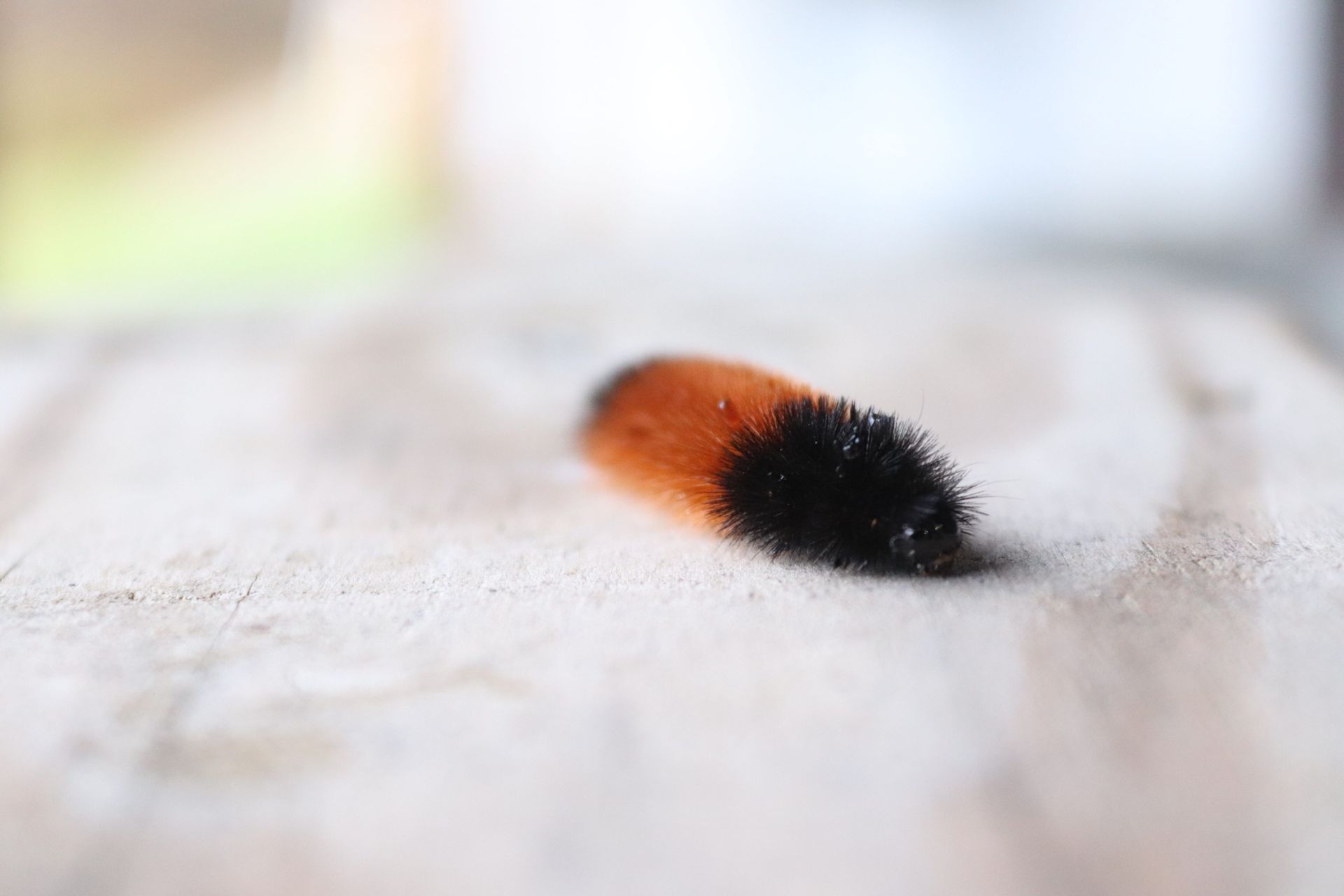
One common anecdote of winter severity involves a frequent backyard visitor: the wooly bear caterpillar. Folklore suggests that the wider the black bands on a wooly bear caterpillar, the more bitter the upcoming winter will be. Contrarily, a wider brown band indicates a milder winter ahead. Some people also note the thickness of the wooly bear’s ‘coat’ as well as the direction of travel (i.e. headed south to escape the winter!).
Another famous animal we turn to for wintertime answers is Punxsutawney Phil on February 2nd for Groundhog Day, where the presence of his shadow predicts how many more weeks of cold winter are yet to come.
In more fun and potentially predictive animal news, there is speculation in the bird world that this may be an irruption year for Arctic birds like the snowy owl. An irruption year (different than volcanic eruptions) describes an ecological event where suboptimal conditions in the arctic circle drive wildlife populations further south in search of food. Humans sometimes use the presence of snowy owls as a cue for winter severity: Colder conditions in the arctic translate to colder conditions elsewhere as well. You may have already heard about a pair of snowy owls hanging out around Montrose Point Bird Sanctuary on the Chicago lakefront back in November. Other notable occurrences in recent years include 2011-2012, 2013-2014, 2018-2019, and 2021, which typically coincided with other high snowfall years.
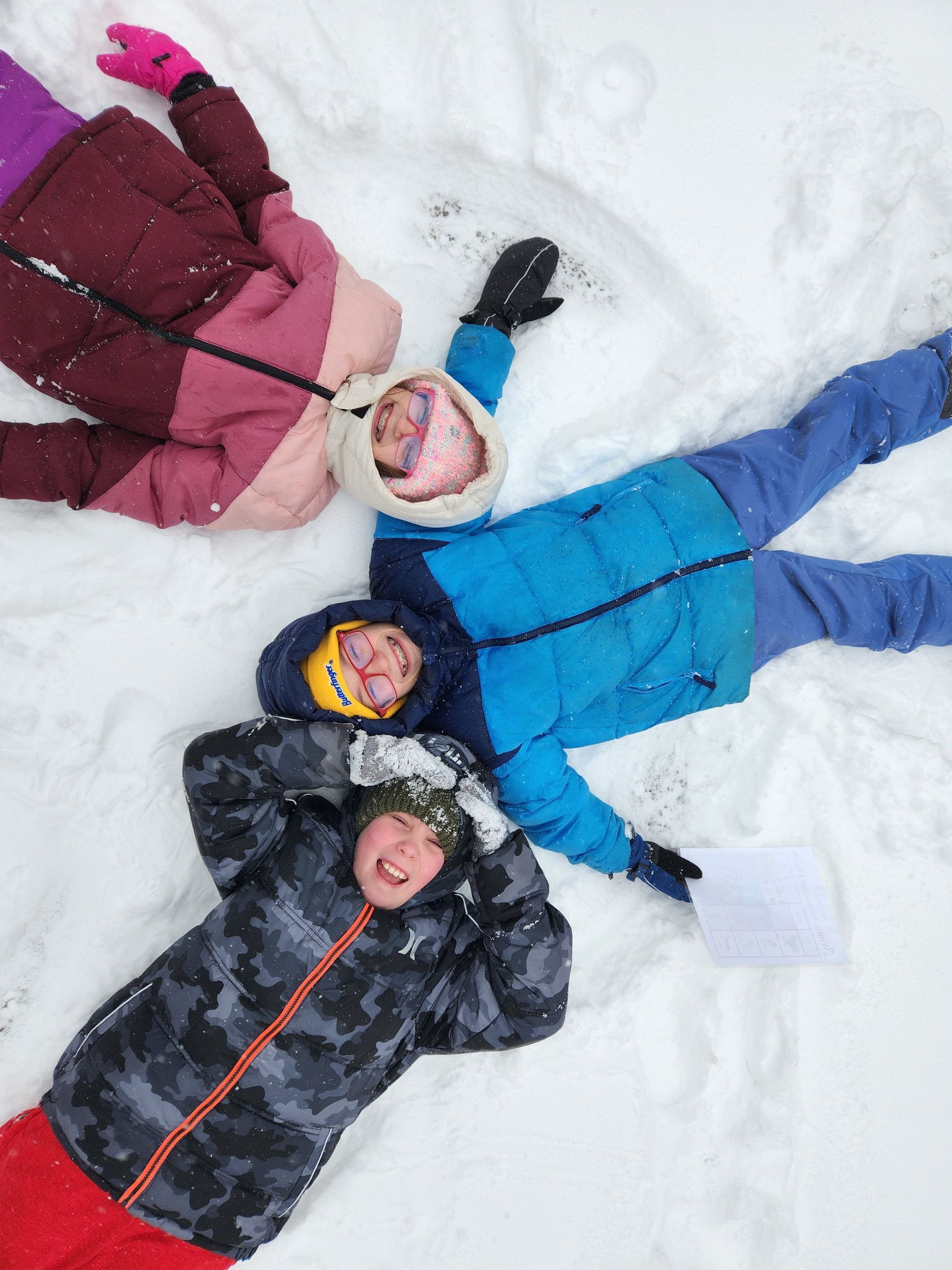
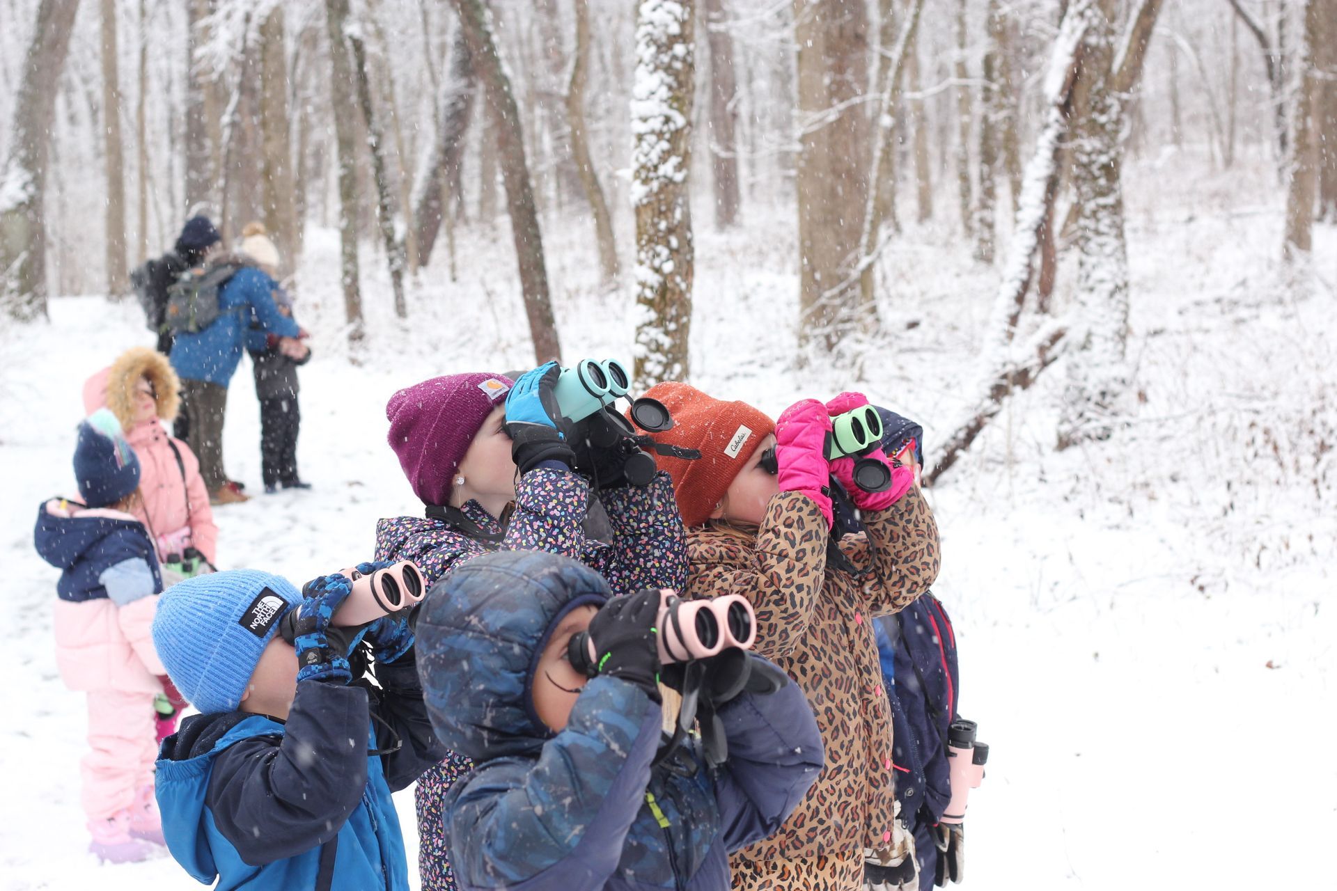
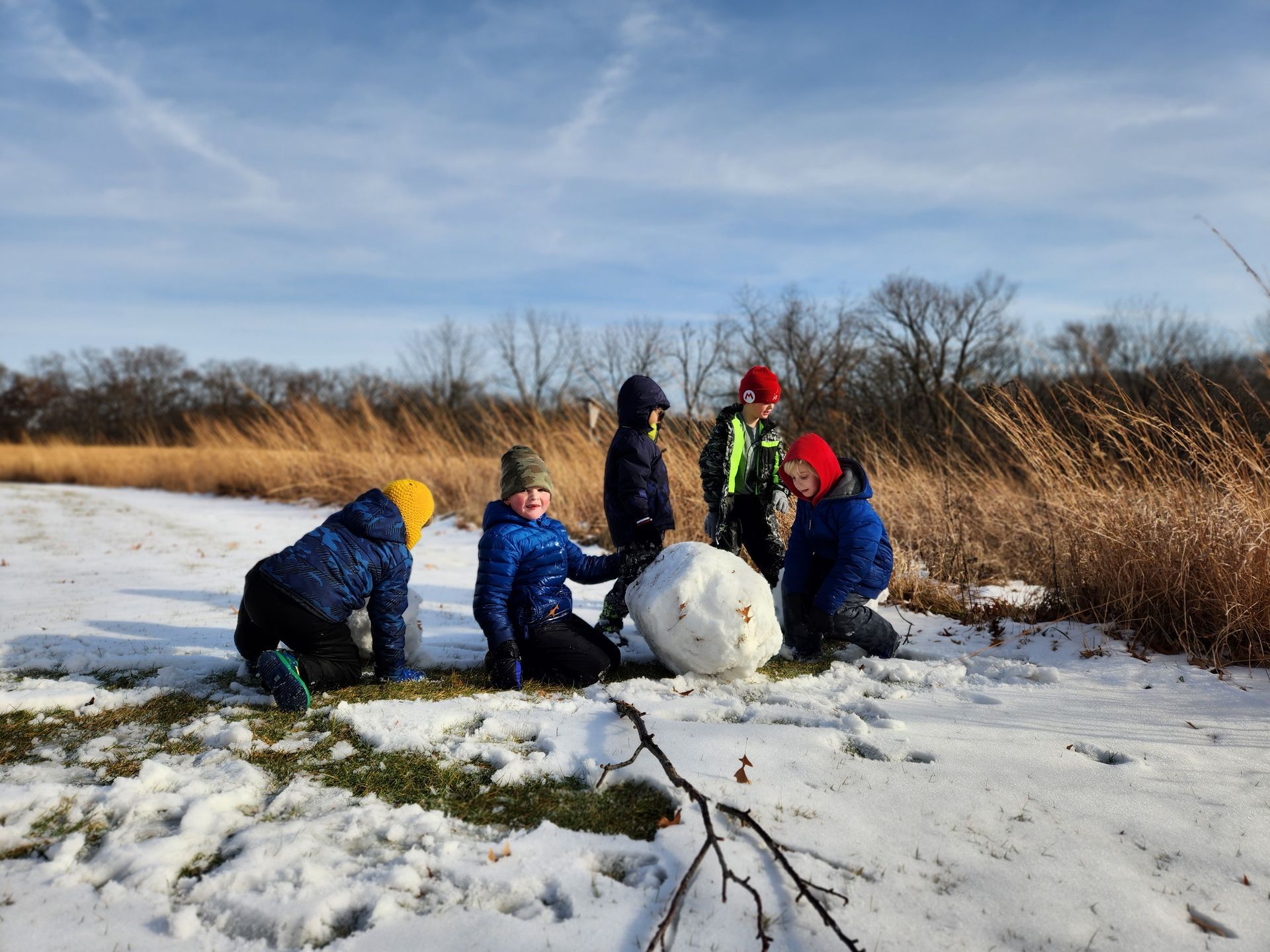
Regardless of what the future weather may look like, winter provides great opportunities for us to spend time outdoors. Whether you build a snowman, make ephemeral art in your backyard, watch birds, volunteer at a conservation workday, or just take a walk in your neighborhood - the most important thing is
getting outside! And you’re in luck as we have plenty of programming this winter to enjoy. View all of our programs here:
https://www.seversondells.org/events
Sources:
Winter Outlook 2025-2026, National Weather Service
Winter forecast 2025-26: Snowy season ahead for parts of the US, AccuWeather
Snowfall Trends, Illinois State Climatologist
Roaring Start to 2025-2026 Winter Snowfall Season, National Weather Service
Rockford, IL Temperature Records, National Weather Service
What is an irruption?, Project Snowstorm
Woolly Bear Caterpillar - Winter Predictor Or Not?, National Weather Service
RECENT ARTICLES